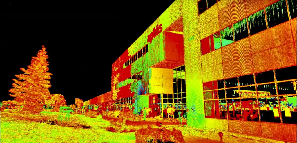
Laser scanning allows us to acquire a large amount of spatial data from existing buildings, infrastructure, structures, and environments.
At Géo Précision, we use this data to produce point clouds, support 3D modeling, and perform various analyses or measurements according to the project’s needs.
Services and possible interventions include:

Géo Précision offers its services in both French and English. Our bilingual team can also provide documents related to your project in the language that best meets your needs.
35, rue Sainte-Marie
Gatineau, QC J8Y 2A4